In mid-June 2024, CESBIO has launched an airborne data collection campaign in collaboration with the French Space Agency (CNES) in the field of GNSS reflectometry. Direct and reflected GNSS signals have been recorded from a SAFIRE aircraft over various sites in France, including agricultural areas, forests, and water bodies. The objectives of this collection are to estimate forest biomass, characterize soil moisture, and determine land use in agricultural areas.
Campaign Objective: Utilizing GNSS for reflectometry
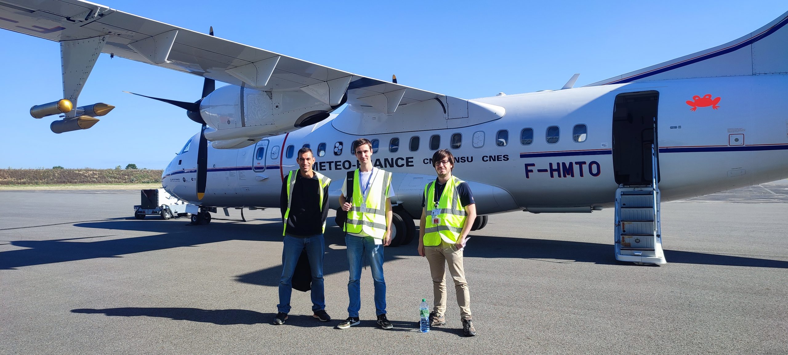
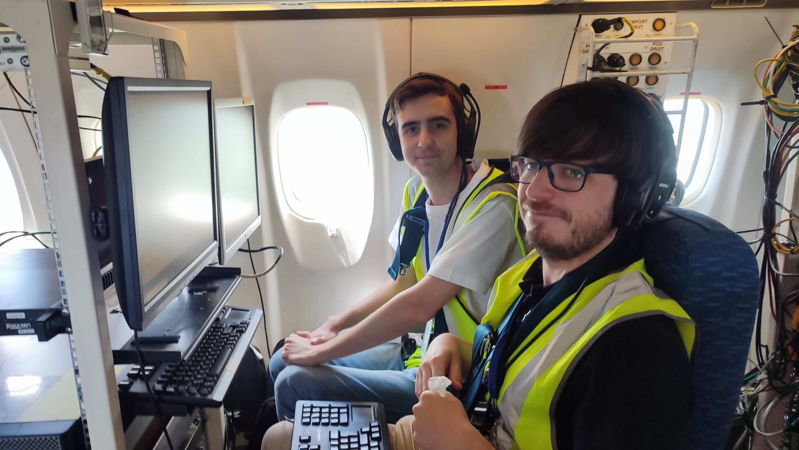
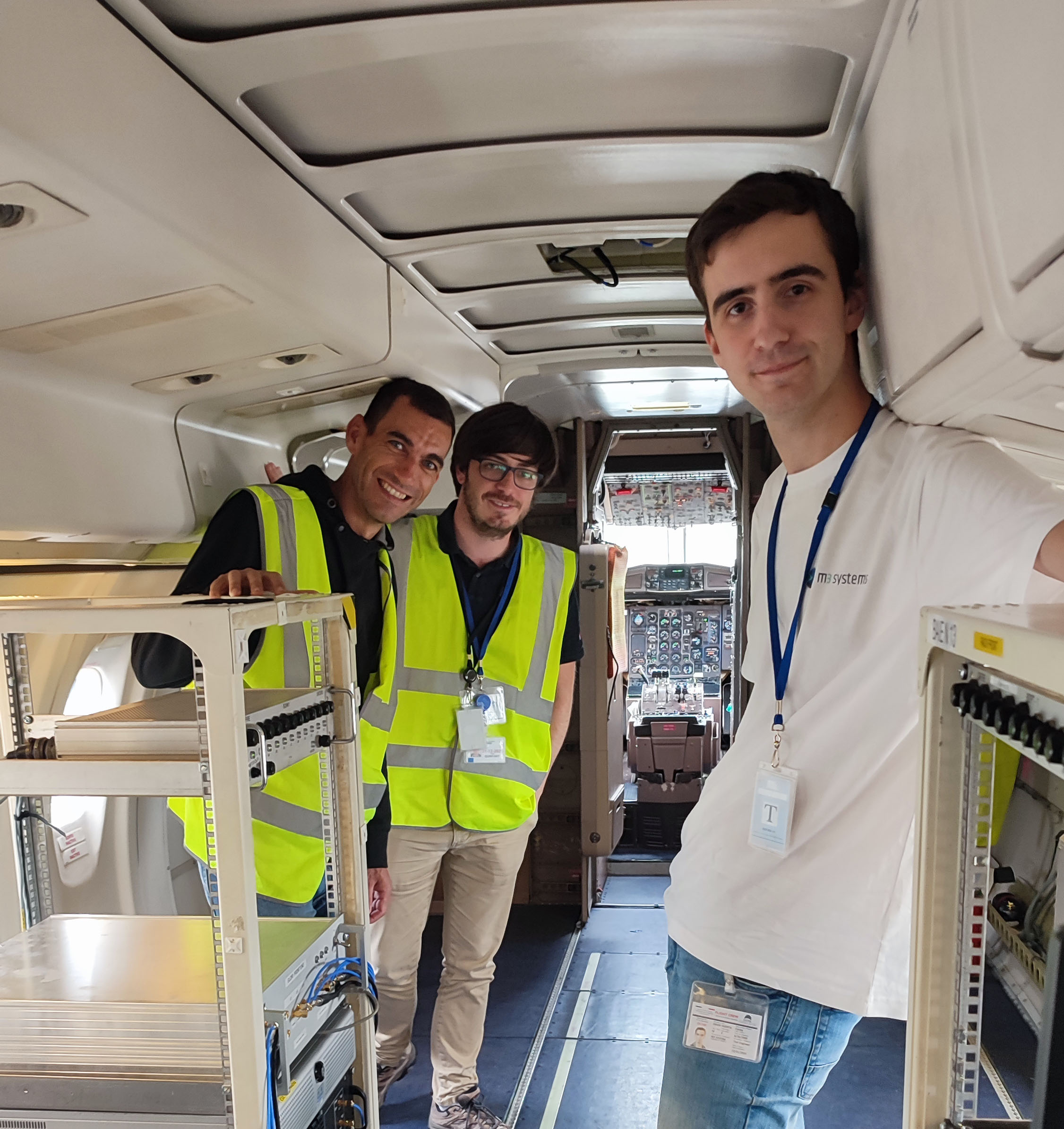
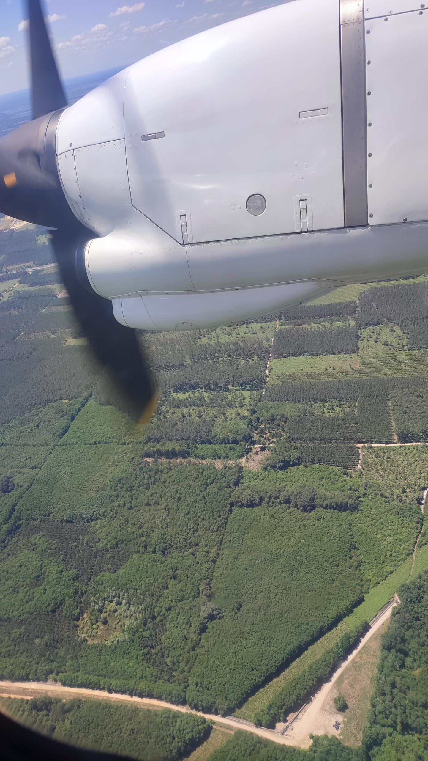
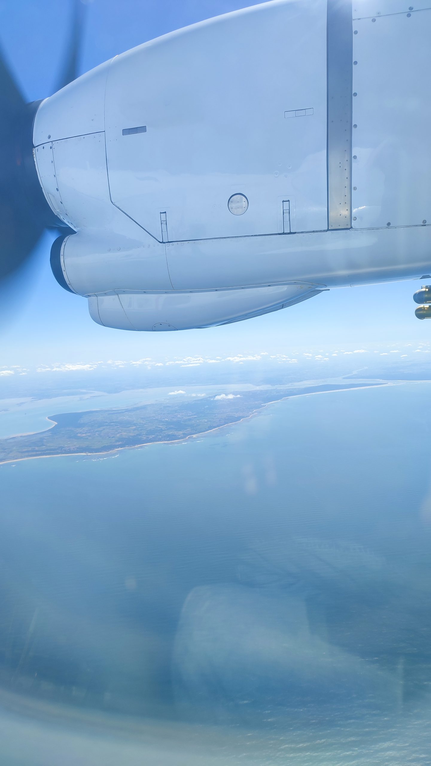
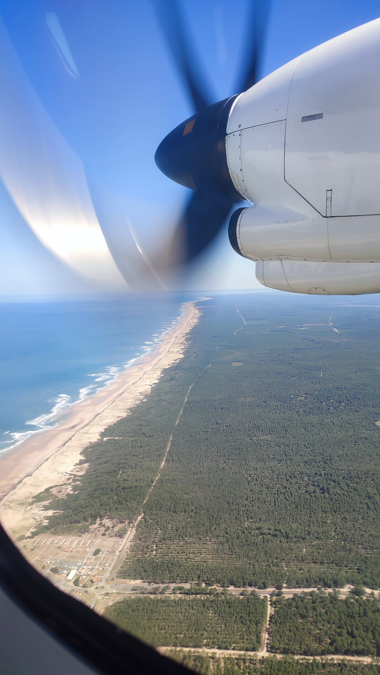
M3 SYSTEMS, CNES and CESBIO teams have boarded a SAFIRE ATR-42 aircraft, specifically deployed for this campaign, to fly over forested, agricultural, and maritime territories. The goal of this campaign is to leverage GNSS reflectometry to estimate forest biomass and characterize soil moisture. Flights over forested areas aim to estimate forest biomass, while flights over agricultural areas in southwestern France aim to characterize soil moisture and land use. All airborne measurements have been accompanied by simultaneous ground-truth campaigns (in-situ soil moisture, leaf area index, roughness) to validate the reflectometry data processing implemented after the campaign.
Recording Equipment onboard SAFIRE aircraft
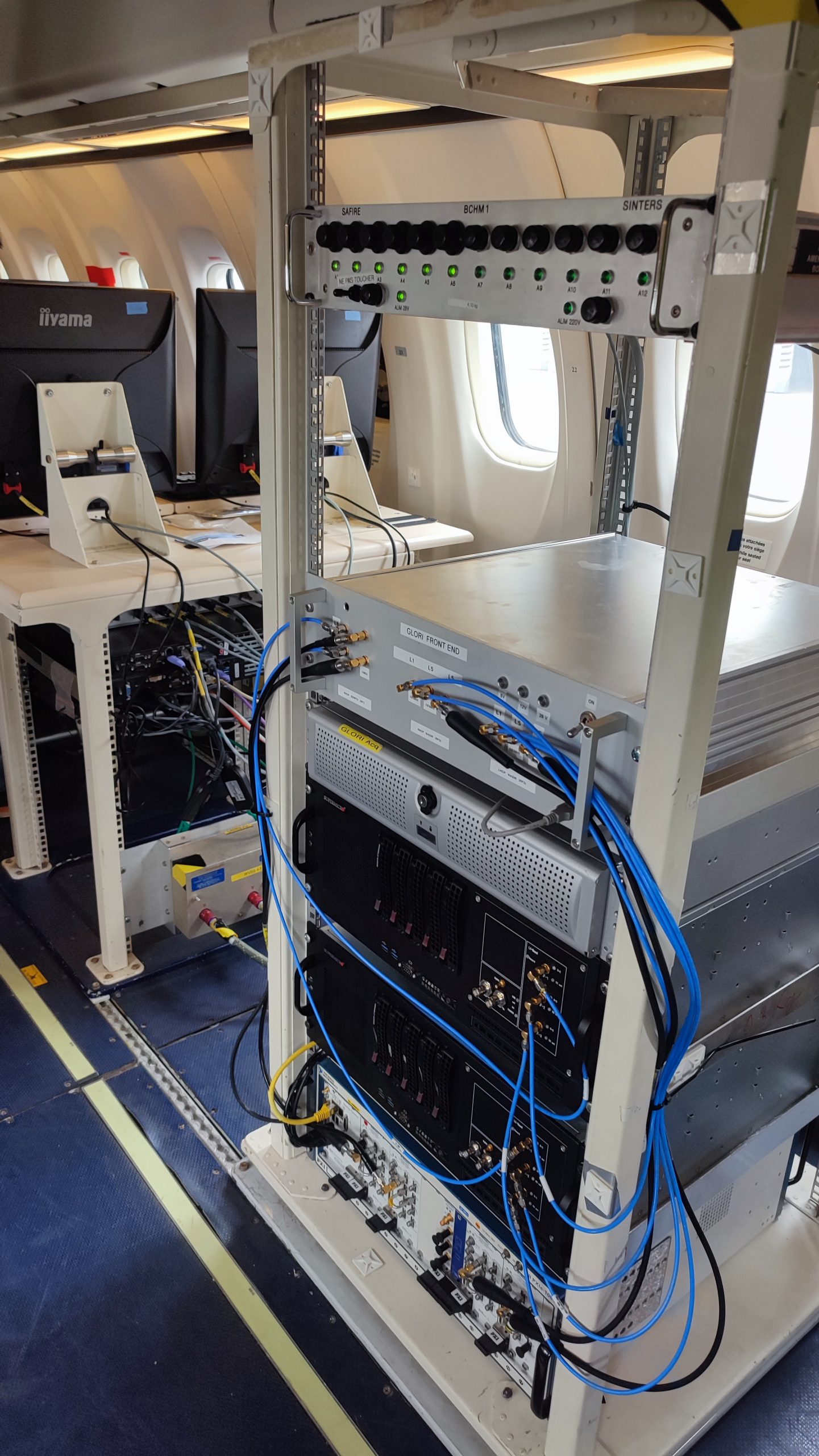
The project utilized three complete GNSS recorders on the SAFIRE ATR-42, based on the Stella Record & Playback (Stella RP) solution from M3 SYSTEMS and the GLObal Navigation Satellite System Reflectometry Instrument (GLORI) solutions from CESBIO. The recording setup includes two antennas provided by CNES and CESBIO, one pointing towards zenith and the other one towards nadir. The campaign aims to record GNSS signals on four simultaneous channels: one channel for direct (i.e., zenith) L1/E1 signals with RHCP polarization, one channel for direct L5/E5a signals with RHCP polarization, one channel for reflected (i.e., nadir) L5/E5a signals with RHCP polarization, and one channel for reflected L5/E5a signals with LHCP polarization. To achieve this, four VST cards are needed on the Stella RP chassis, each connected to a distinct RF cable linked to the zenith or nadir antenna. A precise OCXO clock has been used to enhance synchronization across the four channels, preventing time drift and providing improved phase noise. The signals have been digitized with 8-bit quantization.
All selected equipment and configurations for the campaign are designed to achieve high-quality recording for accurate reflectometry measurements during the post-campaign analysis of the recorded signals. For instance, the choice of 8-bit quantization over 4-bit and the use of an OCXO clock instead of a TCXO clock reflect the commitment to measurement precision.
Multiple applications for environmental study
Beyond estimating forest biomass and characterizing soil moisture, data collected over bodies of water or maritime areas may potentially be used for altimetric applications. By analyzing the time difference and phase difference between direct and reflected signals, altimetric measurements can be deduced. This technique proved useful for other environmental studies, such as wave height measurement.
Long-standing collaboration with CNES and CESBIO
For over a decade, CNES has led several reflectometry projects, highlighting the growing importance of using GNSS for scientific applications, particularly in environmental studies. Within this framework, CNES has collaborated with M3 SYSTEMS on various projects since 2016. M3 SYSTEMS has notably developed a GNSS software receiver with specific reflectometry capabilities for CNES. This software receiver has also been made available to CESBIO through its collaboration with CNES.